
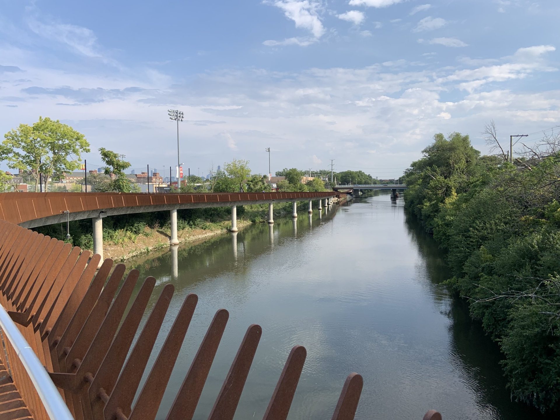
If there is one river tour that has taught more people to ride with luggage than any other, it is the Danube between Passau and Vienna. The distance is about 320 km, the river drops from roughly 300 m to 170 m above sea level so the way is gently downhill, the path is almost entirely traffic-free and paved, and there is a village with a bakery and a guesthouse every few kilometres. It is also genuinely beautiful: forested gorges in Upper Austria, then the vineyards and apricot orchards of the Wachau. Here is how we would ride it as a week.
How the path works
The route follows the river on both banks, and much of the time you can choose which side to ride. The two sides are linked by bridges, by dams with cycle crossings on top, and by small ferries that carry bikes and run on demand or on a schedule through the season. Signage is thorough, the surface is asphalt for the great majority of the distance, and the path is part of a longer European river route that continues all the way to the Black Sea. You do not need a GPS, though a paper or digital map helps you decide which bank is quieter or has the campsite you want.
The path is popular. In July and August it carries a steady flow of families, retirees and organised groups, mostly riding downstream. Starting early, riding into the late afternoon and choosing the less obvious bank keeps it calm. May, June and September are quieter and often better for weather.
Days one and two: Passau to Linz through the gorge
Passau sits where three rivers meet, and the old town on its narrow peninsula is worth the previous evening. Leaving the city, the path enters the Upper Danube valley, a wooded gorge where the river bends back on itself at the Schlogen loop in a near-complete horseshoe. A viewpoint above the loop is a short, steep walk from the path. This is the most enclosed and forested stretch of the whole week, and at about 40 km it makes an easy first day, with camping and rooms at Schlogen and the villages nearby.
The second day continues through the gorge to Aschach, where the valley widens, then across open farmland to Linz. This is around 55 km. Linz is a big industrial and cultural city with a modern art museum on the riverbank, and the path passes directly through the centre.
Days three and four: Linz to Melk through the Strudengau
East of Linz the river runs through flat country past the town of Enns, one of the oldest in Austria, and past Mauthausen, where the memorial at the former concentration camp above the town is a sobering and necessary stop. The path then enters the Strudengau, a narrower stretch with castles on the hills and the old boat town of Grein, whose tiny 18th-century theatre still stages plays. Linz to Grein is about 70 km, the longest day of the week, though it is flat and fast.
Day four follows the river through Ybbs and Persenbeug, with a dam and a bridge, to Melk, where a huge yellow baroque abbey stands on a rock above the river. This is around 55 km. The abbey’s library and church are worth the entrance fee, and the town below has campsites and plenty of rooms.
Day five: the Wachau
Between Melk and Krems the Danube crosses the Wachau, a 35 km stretch of terraced vineyards, apricot orchards, fortified churches and ruined castles that is protected as a world heritage landscape. It is the reason many people ride this route at all, so give it a full short day. The path runs on both banks, and it is worth using the ferries to cross more than once: Spitz and Durnstein on the north bank, the latter with its blue church tower and the ruin above where a king was once held for ransom, and the quieter villages on the south side. The apricot blossom comes in April; the harvest and the wine taverns are in late summer and autumn. Krems, at the far end, is a wine town with a small old centre and good transport connections.
Days six and seven: Krems to Vienna
The last two days are flatter and more open. From Krems the path crosses the Tullnerfeld plain past Tulln, a garden town with a riverside promenade, for about 40 km. The final approach to Vienna threads between the river and the Vienna Woods, passes Klosterneuburg with its abbey, and enters the city along the Danube Island, a long artificial island of parkland and beaches in the middle of the river. Finishing at the island and riding into the centre along the Danube Canal makes a fine last 40 km.
Vienna and Passau are linked by direct trains that carry bicycles, with a journey of around three hours, which makes the return simple. Reserving a bike space is wise in summer.
Practical notes for the week
- Bike: any road, touring or gravel bike works; 32 to 40 mm tyres are ideal and mudguards are welcome in spring.
- Load: rear panniers are the norm here and there is no reason to go ultralight; the terrain forgives weight.
- Sleeping: campsites sit on or near the path at Passau, Schlogen, Linz, Grein, Melk, Krems, Tulln and Vienna, and guesthouses are everywhere; in July and August, book rooms a day ahead.
- Food: shops close on Sundays and often at lunchtime in villages, so buy for Sunday on Saturday; taverns on the path are frequent.
- Season: April to October; the Wachau ferries and many campsites operate roughly from Easter to the end of October.
Passau to Vienna is not an adventure in the wild sense, and that is its value. It is a week where nothing goes wrong, the scenery does the work and the loaded bike stops feeling strange. Most of us who ride it once come back with a bigger route in mind.