
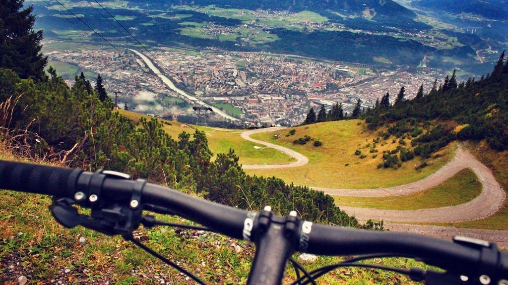
The car park at the foot of a popular mountain is the least pleasant place on the whole route. It fills before dawn in summer, it costs money, and it starts the day with the sound of engines. For years now we have swapped it for a different pattern: train or bus to a valley town, bike to the trailhead, walk the summit, ride back down the valley in the evening. The mountain is the same. The day around it is completely different, and the bike approach turns a three-hour walk into a proper journey with a beginning and an end.
Why the bike changes the shape of the day
A summit walk from a car park is a there-and-back. A summit walk from a bike is a loop, because the bike lets us start at one trailhead and pick the bike up at another, or simply because the ride in and the ride out are different experiences. The approach ride warms the legs without loading the joints, and the return ride is a reward instead of a slog: 20 km of gentle descent on tired legs costs almost nothing when the bike does the work.
There is also the question of timing. Most walkers on the classic peaks start between eight and ten in the morning, because that is when the car park and the shuttle bus deliver them. If we ride 25 km from a valley station at first light, we reach the trailhead at the same time and join the crowd. If we ride the evening before and camp or bivouac near the path, we are on the summit at sunrise with the hill to ourselves and back at the bike before the first buses arrive.
Choosing a peak that suits the pattern
Not every mountain works. The ideal candidate has a rideable road or track that climbs a good part of the vertical, a clear point where riding ends and walking begins, and a public transport link within a day’s ride. In the British hills the model is Snowdon, or Yr Wyddfa, at 1085 m: a railway station at Llanberis, a road climb of roughly 300 vertical metres to the pass at Pen-y-Pass, then a walking route of about 6 km each way to the top.
In the Pyrenees the same logic applies to the Canigou at 2784 m. A rough track climbs from the villages around 700 m to a mountain hut at about 2150 m, and cyclists on a sturdy gravel bike or a mountain bike can ride most of it. From the hut, the summit is a walk of two to three hours on a clear path with a short scramble at the top. The track is closed to private cars in summer, which makes the ride quiet, and the descent back to the valley is 1400 vertical metres of loose, fast hairpins.
Where the bike stops and how we secure it
The transition point deserves as much thought as the summit. We look for a place with three qualities: a natural obstacle that would stop a bike anyway, such as a gate or the end of a track; something solid to lock to; and a spot slightly off the main line of sight. A sign post, a fence rail or a tree of at least 15 cm diameter is enough.
Bags come off the bike and their contents split into two piles. On the walk we carry water, food, a shell, a warm layer, a map and the first-aid kit in a light pack that packs flat inside a frame bag when riding. Everything else, from the sleeping kit to the tools, stays on the bike inside bags that are clipped rather than strapped, so they can be removed in seconds if we change our mind about leaving them.
- Lock to something you could not lift, at least 15 cm thick, out of the sightline of the path.
- Take valuables, documents and water; leave the sleeping kit, tools and cooking gear.
- Remove anything that smells of food; small animals chew bags to get at wrappers.
- Photograph the bike with the map and note the time you left it.
Managing the vertical budget
A bike approach adds vertical metres that a car park route hides. On a day when the summit walk gains 900 m, riding to the trailhead from the valley might add another 400 to 600 m on the road. We budget the whole day in vertical metres and hours: 300 to 400 vertical metres per hour of steady riding with bags, 400 to 500 on foot with a light pack. A 1500 m day therefore comes out at four to five hours of ascent, plus descents, stops and the transitions.
Descending on a bike after a long walk deserves respect. Tired legs and cold hands make poor brakers, and mountain roads in the late afternoon are busy with cars leaving the same car park we avoided in the morning. We eat and drink before remounting, put on a windproof layer even on warm days because the descent will cool us by several degrees, and check the brakes and tyre pressures before the first hairpin.
Weather, season and the train timetable
The summit decides the season, not the road. On the high peaks of the Alps and the Pyrenees the walking paths clear of snow between mid-June and early July and become unpleasant again from mid-October. Below that, the roads are open most of the year, which tempts people into early trips where the ride is delightful and the summit is an ice field. We check recent conditions from the local mountain information services before committing, and we carry microspikes in the shoulder months.
The last train is the real turnaround time. Rather than fixing a time at the summit, we work backwards: departure time from the station, minus the ride time with a margin, gives the time we must be back at the bike, and from there we subtract the descent on foot. Writing those three times on a strip of tape on the top tube sounds excessive until the first evening spent on a platform watching the last train pull away with a heavy bike and no plan.
The return ride is part of the mountain
When we started combining bike and summit, we treated the ride as transport. Now we treat it as the part of the day that gives the mountain its scale. Rolling out of a valley town at six in the morning, watching the peak grow over an hour of climbing, standing on the top and looking down at the whole line of the ride, then reversing it with the light going gold: that sequence is not available to anyone who arrives by car.