
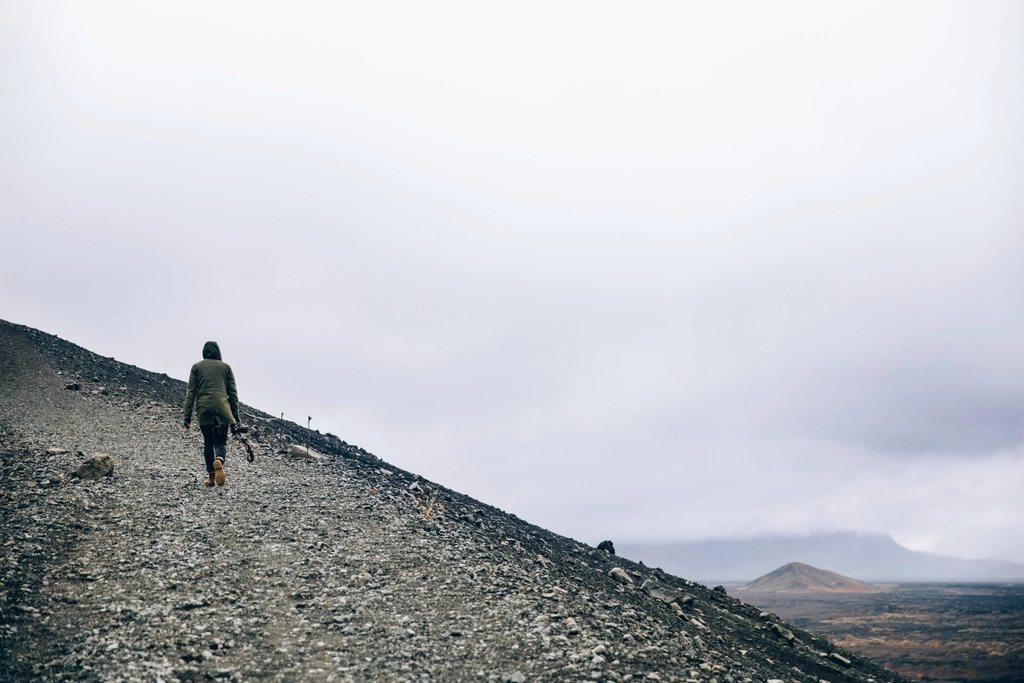
Scotland has become one of the best places in Europe to ride a loaded bike off road, and two routes explain why. The Badger Divide runs about 330 km from Inverness to Glasgow along the spine of the Highlands, and the Cairngorms Loop makes a figure-of-eight of around 300 km through the biggest and highest wild land in Britain. Both are almost entirely on tracks, both are free to ride and camp along, and both can be reached by train. Together they are a fair sample of what Highland bikepacking is: long estate tracks, old military roads, river crossings, bothies, midges and weather.
The access rules that make it possible
The foundation of all this is the access legislation that gives everyone the right to cross most land in Scotland responsibly, on foot or by bike, and to camp wild for a night or two away from buildings and roads. There is no need to ask, no fee, and no closed season, with a few local exceptions on some loch shores near towns. Responsible means leaving no trace, keeping off crops, giving deer stalking and lambing a wide berth when signed, and not lighting fires on peat. The network of bothies, simple unlocked shelters maintained by volunteers, is free to use; you bring everything, take away your rubbish, and share the space.
The Badger Divide: Inverness to Glasgow
The Badger Divide was drawn up by a Scottish bikepacker as a route rather than an event, and it has become the country’s unofficial classic. It leaves Inverness along the Great Glen, following the forest tracks high above Loch Ness on the quieter south-eastern shore to Fort Augustus. There it turns off onto the Corrieyairack Pass, an 18th-century military road that climbs on a rough stony track to about 770 m, the highest point of the route, before dropping in a long series of zigzags to Laggan. This is the section people talk about: bleak, exposed and exhilarating, and a place to be careful in bad weather.
From Laggan the route heads into the empty country around Loch Ericht and Ben Alder, then across the edge of Rannoch Moor to the railway halt at Corrour and Loch Ossian, where there is a hostel with no road access at all. The southern half crosses the West Highland corridor, uses stretches of old military road and forest track, passes down the eastern side of Loch Lomond, follows the private road along Loch Katrine, which is closed to cars, and finishes through Aberfoyle and the forest tracks of the Trossachs before dropping into Glasgow along the River Kelvin. Total climbing is in the region of 5,000 m. Most people ride it in three to five days; it can be done in two by fit riders on a light bike, and a week is a fine pace with a rest day.
Surfaces are mostly good gravel estate roads and forest tracks, with a few rough or boggy sections and some short pushes. Tyres of 45 to 55 mm are about right. Resupply is possible at Fort Augustus, Laggan, Tyndrum, Crianlarich and Aberfoyle, with long gaps between; carry a full day of food from Fort Augustus and again from Corrour.
The Cairngorms Loop
The Cairngorms Loop is a different animal. It starts and finishes at Blair Atholl, a village with a railway station on the Highland line, and makes two connected loops through the national park. The northern loop goes up Glen Tilt on a track that narrows to a rocky path, over to Braemar by way of the Linn of Dee, north through the Lairig an Laoigh pass and the Fords of Avon, where the river must be waded and where a tiny emergency refuge sits among the boulders, then out through the pines of Glenmore to the Aviemore side. The return comes down Glen Feshie, one of the loveliest glens in Scotland with its regenerating forest and a bothy near the river, and then over the Gaick Pass, a high, remote trench between mountains, back to Blair Atholl. The route also loops east through Tomintoul and Glen Avon on the way, and the whole thing adds up to roughly 300 km with about 4,000 m of climbing.
What makes it serious is remoteness and river crossings. Sections of the Lairig an Laoigh and Glen Tilt are hike-a-bike over boulders and bog, and the fords can be impassable after heavy rain. The high ground is over 800 m and fully exposed. There is a self-supported time trial on the route each year with a 48-hour standard, but a tour of three to five days, with nights in bothies or the tent and resupply at Braemar, Tomintoul and Aviemore, is how most of us ride it.
Season, weather and the small things that bite
The best months are May, June and September. May has long days, few midges and fresh snow still possible on the tops; September has stable weather and colour on the hills. July and August are warm but bring the midges, which are relentless in still, damp weather at dawn and dusk. A head net, a repellent and a habit of camping on breezy ground are the defence. Ticks are common in bracken and long grass from spring to autumn, so check your legs each evening. Weather changes by the hour: full waterproofs, a warm hat and a sleep system rated to a few degrees above freezing are needed in every month.
Water is everywhere and generally safe from fast-flowing burns above habitation, though filtering is sensible below grazing land. Wind on the open passes can be fierce; the Corrieyairack, the Gaick and the high Cairngorm ground are places to avoid in a forecast gale.
Getting there and choosing between them
- Trains: Inverness, Glasgow, Blair Atholl, Aviemore and Corrour are all on the railway, and an overnight sleeper runs from London to Inverness and Fort William; bike spaces must be booked.
- Badger Divide: linear, point to point, more rideable, easier resupply, a good first Scottish route.
- Cairngorms Loop: circular, rougher, more remote, more river crossings, a route for riders who are comfortable pushing and wading.
- Both: bring a stove, a bag for your rubbish and a real rain jacket, and expect to enjoy the second day more than the first.
Neither route is long by the standards of a continental crossing. Both feel bigger than their distance, because the Highlands are empty in a way that surprises people who have only seen them from a car. That is the point, and a bike is the best way we know to reach it.