
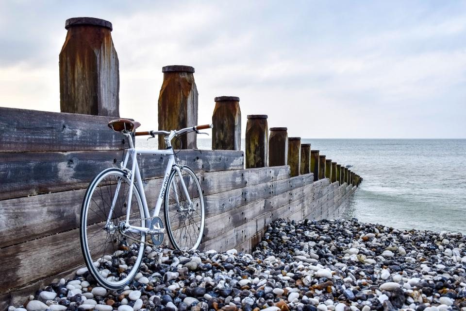
Coast paths and coast roads rarely share the same line. The road cuts inland across the neck of every headland because that is where the ground is flat and the bridges are cheap; the footpath follows the cliff edge because that is where the view is. A cyclist who stays on the road sees a lot of hedges and the occasional glimpse of sea. A walker who stays on the path covers 15 km in a full day. Put the two together and something better appears: ride the road between headlands, lock the bike at the neck of each one, walk the cliff loop, and ride on. We call it the headland loop, and it has quietly become our favourite way to spend a day by the sea.
Why headlands are made for the combination
A headland is a natural out-and-back for a walker and a natural bypass for a road. The coast path around a typical promontory runs 4 to 8 km and returns to within a few hundred metres of where it started, usually at a village, a car park or a road junction. That start point is exactly where we leave the bike. The walk takes one to two hours, the wind and the seabirds and the cliff drop are all in that stretch, and the tedious tarmac between headlands is done on wheels at four times walking speed.
The geometry also solves the problem of luggage. On a linear coast path every kilogram is carried for the whole day; on a headland loop the bags stay on the locked bike and we walk with a bottle, a jacket and a camera. Twenty kilometres of riding and twelve kilometres of clifftop walking make a very full day, and it feels lighter than either done alone.
Picking a coast that rewards the pattern
The best coasts for this are the indented ones, where the road has to cut corners often. In Brittany the north coast between the Cap Frehel and the bay of Saint-Brieuc is a string of headlands, and the cape itself is a 70 m cliff of pink sandstone with a lighthouse and a circular path of about 5 km. The road arrives from the south, drops us at the car park, and picks us up again on the far side of the point.
In Wales the coast path runs for 299 km around Pembrokeshire, and the road network behind it is quiet enough to ride with bags. Each of the peninsulas in the south of the county offers a cliff loop of 5 to 10 km, and the lanes between them are short. On the Isle of Wight the round-the-island cycle route of roughly 105 km pairs neatly with the chalk downs and the cliffs of the western tip, where the walk out to the stacks known as the Needles is a classic 6 km out-and-back from the last road.
Further afield, the Gaspesie peninsula in Quebec ends at Perce, where a limestone rock 88 m high and nearly half a kilometre long sits just offshore. The coast road around the peninsula is a long ride of several days, but the headlands around the village and the nearby national park can be walked in a morning from a locked bike, with gannet colonies on the cliffs. In Catalonia the road from Cadaques climbs 8 km to the lighthouse at the Cap de Creus, the easternmost point of mainland Spain, and the paths across the bare rock of the cape make a two-hour loop that no car park could ever deliver.
Where to leave the bike on a coast
Coastal villages and car parks are busier than mountain trailheads, so the lock is heavier and the choice of spot more careful. We look for a fixed railing, a signpost set in concrete or a bike stand near a cafe or a lifeboat station, where the passing eyes are a deterrent in themselves. Out of sight is better in the hills; in plain sight of a busy terrace is better on the coast. The bags come off if the walk is more than an hour, and anything of value comes with us in the day pack.
Salt is the other enemy. A bike left for two hours in onshore wind and spray comes back with a gritty chain and, over a week, seized bolts. We rinse the drivetrain with fresh water at every campsite tap and carry a small bottle of chain lubricant, which we apply every evening rather than every few days as we would inland.
- Lock in plain sight near a cafe, harbour office or lifeboat station.
- Take the bags for any walk over an hour; take valuables always.
- Note the tide times if the path crosses a beach or a causeway.
- Rinse and lubricate the chain every evening in salt air.
Tides, wind and the direction of travel
Two things shape a coastal day that a mountain day ignores. The first is the tide, because many headland paths drop to a beach or a causeway that floods twice a day. The second is the wind, which on an exposed coast can run at 40 or 50 km/h for days. We check both the night before and plan the ride to put the wind behind us on the longest road section, accepting that the walk will be into it somewhere. Clifftop paths in a strong crosswind are unpleasant and, close to the edge, genuinely dangerous; if the forecast tops 60 km/h we stay on the road.
The direction of the loop matters for the light as well. On a west-facing coast the afternoon sun is on the sea; on an east-facing one the morning is better. We tend to ride into the morning and walk into the afternoon, which puts the best light on the headland and the ride home into an evening that is warm and slow.
A day that adds up
A typical headland loop day for us runs to 40 or 50 km of riding, three headland walks totalling 12 to 15 km, and 600 to 800 m of ascent split between the road and the cliffs. It sounds like a lot until we remember that the riding is flat and the walking is done without a pack. The two modes rest each other, and the day ends at a campsite or a village with the sea on three sides and the whole coast reduced, for once, to its best bits.