
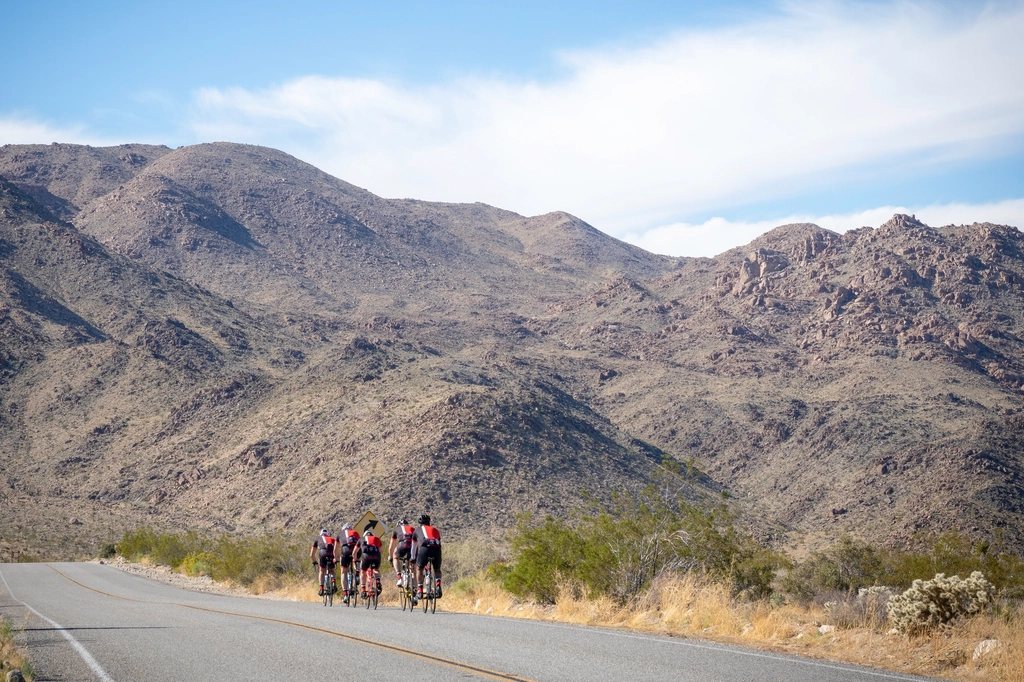
Water is the heaviest thing we ever carry and the one we can least afford to run short of. A litre weighs a kilogram, and on a hot day of loaded gravel riding we drink four to six of them before the stove comes out. The problem on a bike is not so much finding water as timing it: knowing how far the next reliable source is, carrying enough to reach it with margin and no more, and recognising the sources that do not appear on any map. After many summers of dry ridges and unexpectedly full fountains, this is how we plan for water, how we carry four litres on a bike without ruining the handling, and where the water hides when the map shows nothing.
How much a day really needs
Our working numbers are simple. In mild weather, around 15 to 20 C, a loaded rider gets through about half a litre an hour on the move, so four to five litres over a full day. At 30 C and above on exposed gravel that rises to a litre an hour, and a long climb in the afternoon sun can take a litre in 40 minutes. Add half a litre for each hot meal and a quarter for each hot drink, and a dry camp, where we arrive with everything needed for the evening, the morning and the first two hours of riding, needs about three litres per person on top of what we drank on the way in. Four litres of capacity is therefore not excess; it is the minimum that lets us pass a sign saying the next water is 60 km away without turning round. The mistake we made early on was carrying four litres all day everywhere. The capacity should be on the bike; the water should be in it only when the gap ahead demands it.
Where four litres go on the bike
Weight low and central is the rule for everything on a bike and doubly so for water, because it sloshes. Two standard bottle cages inside the front triangle take 750 ml each, and on a small frame a frame bag will steal one of them. The fork legs are the best addition: many gravel forks carry three-bolt mounts on each leg, and a cage there holds a 750 ml or one-litre bottle at hub height, where the weight barely affects steering. That gives three to three and a half litres in bottles. The final litre or two lives in a collapsible bottle or bladder that packs flat when empty. We keep it in the frame bag, which sits over the bottom bracket, or in the bottom of a pannier on a rack-based setup. A hydration pack on the back works for short hot days but on a week-long trip it loads the saddle contact points with 2 kg the body has to carry, and we would rather the bike did that job. Cages take a beating on corrugated roads, so we use cages with a retaining strap or a cage designed for larger bottles, and we check the bolts every few days; a bottle bouncing out at 40 km/h on a descent is a lesson that only needs learning once.
Reading the map for water
Topographic maps at 1:25,000 or 1:50,000 are honest about water in a way that routing apps are not. Springs, wells, fountains and cattle troughs have their own symbols, and a blue line that is drawn dashed is seasonal, which in August means dry. We mark every source within 500 m of the route the evening before and grade them: reliable, meaning a village tap, a fountain or a river with a name; probable, meaning a spring or a stream draining a large catchment; and hopeful, meaning anything else. Then we plan the day around the reliable ones and treat the rest as a bonus. In the mountains we fill at the bottom of a climb, because streams thin out with altitude and the last one often marks the point where the valley narrows. On plateaus and in karst country we assume nothing: limestone swallows rivers whole, and a valley that looks wet on the map can be dry rock for 20 km. Before a remote section we look for recent reports from other riders, since a source that was flowing in May can be a trickle by late summer, and a season’s rainfall changes everything.
The sources that are not on the map
Much of Europe’s rural water is public and free; you simply have to know where to look. Cemeteries in France, Spain, Italy and Portugal almost always have a tap for watering flowers, usually beside the gate, and they sit at the edge of every village. Village squares hold fountains, some with a sign saying the water is not tested, which usually means not tested rather than not safe. Churches, town halls, sports grounds and fire stations often have an outside tap. Petrol stations and campsites will fill a bottle if asked. Cattle troughs fed by a pipe from a spring are safe upstream of the animals. In the American West, windmills and stock tanks on ranch land are the classic sources; the water is treated and the tank is left as found. In Scandinavia and the Alps the problem is the opposite, too much water to bother mapping, and we fill from any fast stream above the last habitation. In arid country, where every source is precious, we ask. A farmer in Spain has never refused us water, and a village in the Balkans has never let us leave with only water.
Treating what we find
Whether to treat water is a judgement about what is upstream. A spring emerging from rock above any grazing or habitation we drink as it comes. Anything else gets one of three treatments. A hollow-fibre filter, the small squeeze type that weighs about 80 g, removes bacteria and protozoa such as giardia and cryptosporidium and is our default in Europe and North America, where viruses are not the concern; it is useless once it has frozen, so it sleeps in the quilt on cold nights. Chlorine dioxide tablets weigh nothing and handle viruses as well, but they need 30 minutes for bacteria and up to four hours to be sure of cryptosporidium, which means treating tonight’s water for tomorrow. Boiling is the fallback and costs fuel. What matters more than the method is the habit: we treat the water we carry into camp, not the water we grab on a climb, and we never let the treated and untreated bottles get confused, which is why the collapsible bag on our bikes is always the dirty one and the fork bottles are always clean.